Lab 4 [GIS5050L]: ArcGIS Collector & Sharing Maps
Created in ArcGIS Pro 2.2.3
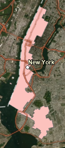
The map above is an example of a story map created in ArcGIS Pro. The map is hosted at the ArcGIS Online site using this link. The map provides the locations of 5 buildings on campus containing Automatic External Defibrillator devices. In addition, a rating of the overall quality as well as a general note about where in the building to locate the device is provided, along with an image showing the current condition of the device.
The map can be improved in two ways. First, the symbology of the locations could be changed to better pinpoint the locations. When zooming in on the map, several features are also automatically colored green, so green was not a good choice for the "Like new condition". The second improvement to the map would be the legend area where the heading "AED Location" should more correctly read "Quality Assessment of AED Device".


Comments
Post a Comment